
The first failure in a wildfire smoke event is usually not the route plan. It is the assumption that the route plan is still describing the same road. A corridor can look open in one system, constrained in another, and already be the wrong answer by the time two drivers call in with smoke, stalled traffic, and visibility dropping faster than the closure feed updates.
That is where smoke-aware routing becomes a practical dispatch problem, not a technology slogan. During the January 2025 Los Angeles wildfires, major freight corridors including I-405, Pacific Coast Highway, and I-10 were affected by closures, while air freight faced visibility restrictions and port cargo movement slowed.[1] In the 2023 Canadian wildfires, Xeneta reported delivery delays of up to two days and shipment-volume reductions of up to 75% in affected areas.[2]
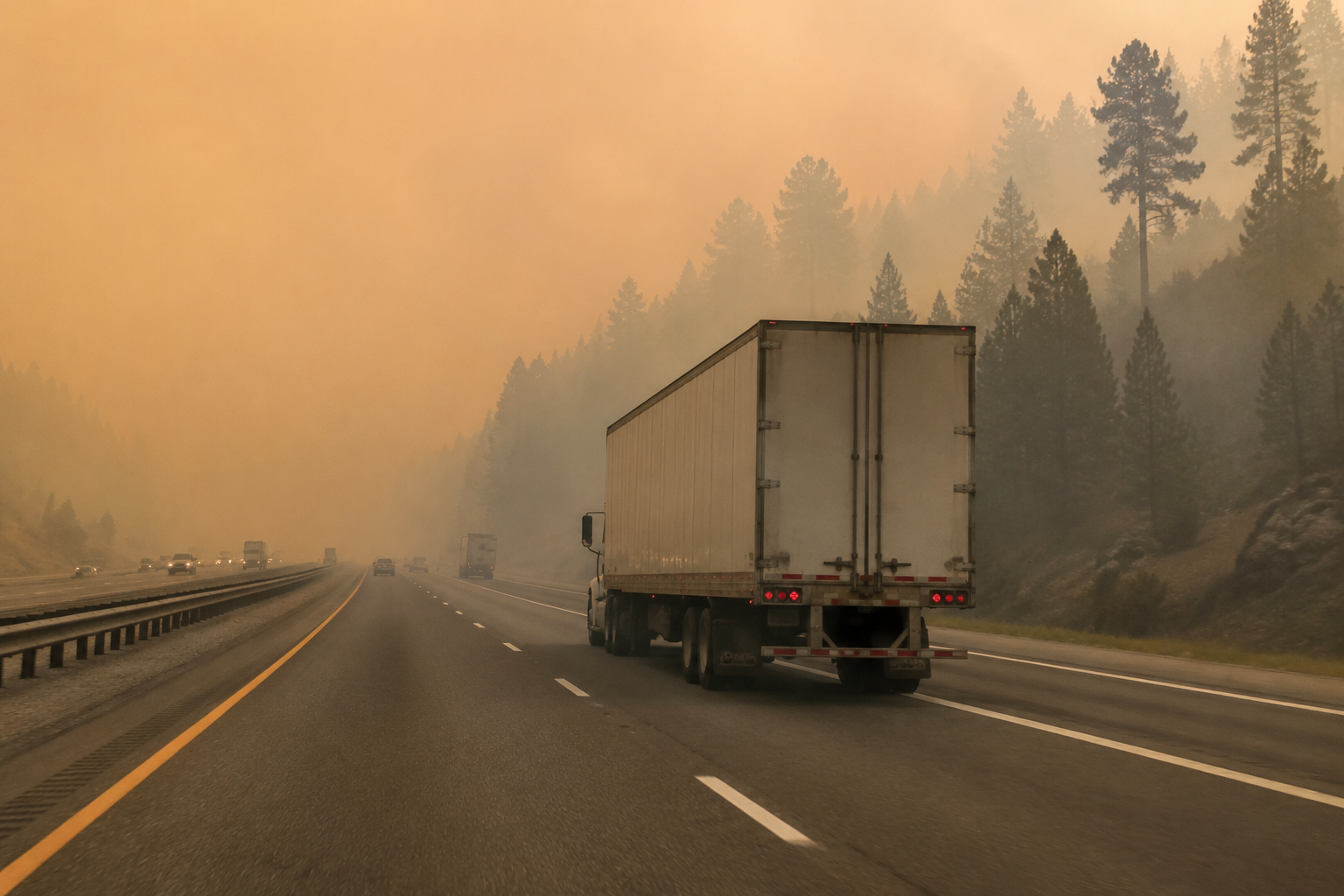
Those are not edge cases for a fleet operating in the West, the Pacific Northwest, or smoke-exposed Canadian lanes. They are the operating baseline: closures, visibility, congestion, driver exposure, and delivery commitments moving on different clocks.
Why ordinary rerouting breaks down in smoke
Conventional GPS rerouting is good at answering a narrow question: if the current path is blocked or slow, what is the next available path? That can be useful in normal congestion. It is weaker when the real constraint is not a single blocked segment but a moving smoke field sitting across several feasible alternatives.
A dispatcher in that situation is not choosing between Route A and Route B on distance alone. The dispatcher is deciding whether a driver should stay on a technically open corridor with poor air quality, whether a detour adds enough time to break a delivery appointment, whether a smoke-related slowdown will burn more fuel than the longer route, and whether the next update will make the whole decision stale.
The difference matters because wildfire smoke is not confined to the burn perimeter. It can degrade visibility, push traffic into stop-and-go patterns, trigger road restrictions, slow yard and port movement, and still leave a road showing as open. A routing system that treats “open” as “safe and operationally useful” is missing the condition that drivers and dispatchers are actually dealing with.
What the AI routing layer has to see
The useful version of AI route optimization is not just a shorter-path engine with better branding. It continuously re-optimizes routes against multiple live inputs. In a wildfire smoke event, the routing layer needs air quality readings, visibility degradation reports, road closure feeds, traffic speeds, weather context, delivery windows, hours-of-service constraints, and fuel implications in the same decision space.
| Input | Operational question it answers |
|---|---|
| Air quality index data | Which available corridors increase driver exposure to smoke? |
| Visibility reports | Where does an open road become a slow or unsafe road? |
| Road closure feeds | Which links are no longer feasible? |
| Live traffic speeds | Where are detours already absorbing displaced vehicles? |
| Delivery windows | Which customers or facilities need appointment recovery first? |
| Fuel and idle-time estimates | Which reroute avoids wasting fuel through stalled or stop-and-go movement? |
The important word is “together.” Air quality without traffic can send a truck into a clean but gridlocked detour. Traffic without AQI can preserve the appointment while pushing the driver through a worse exposure zone. Closure data without visibility can leave the dispatcher choosing a legal path that is still deteriorating in practice.
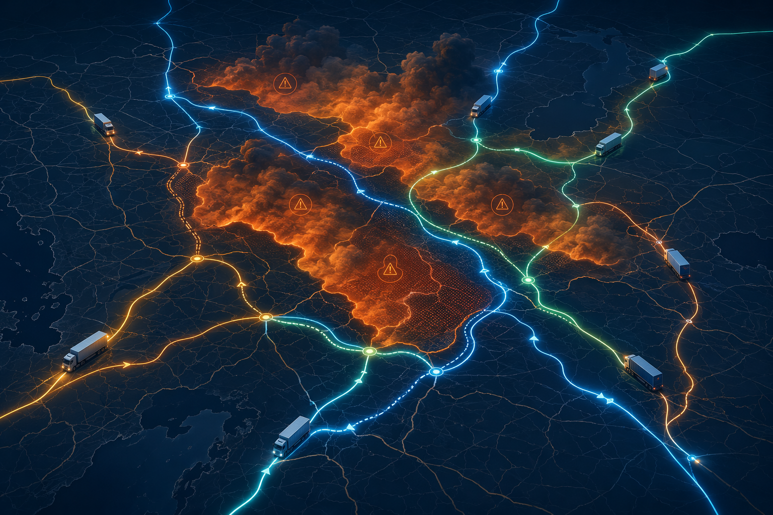
In a working setup, the engine does not wait for a dispatcher to rebuild the trip manually. It scores feasible alternatives as conditions change, flags the tradeoffs, and pushes an updated route for review or execution. The dispatcher still needs control, especially when customer appointments, driver judgment, and local instructions conflict. The gain is that the person making the call is no longer piecing together five half-synchronized screens while the truck keeps moving.
The real workflow is a sequence of constraints
During a smoke disruption, routing decisions tend to move through a practical order. First, remove what is impossible: closed roads, restricted corridors, inaccessible facilities. Then remove what is unacceptable: routes where AQI or visibility creates exposure and safety concerns that the operation has decided not to absorb. Only after that does it make sense to optimize for appointment recovery, mileage, idle time, and fuel.
That order is not elegant, but it is how dispatch pressure works. A route that protects fuel cost while sending a driver through poor air for the sake of a delivery window is not an optimization success. It is an objective function with the wrong priorities.
The routing output should make the tradeoff visible: “This route adds time but avoids the worst smoke band,” or “This route preserves the appointment but increases exposure and stop-and-go risk.” When the system only returns a recommended path without showing why alternatives were rejected, it creates a new dispatch problem. The operator has speed, but not enough judgment.
Fuel savings are plausible, but the high-end claims need discipline
Wildfire disruptions waste fuel in obvious ways: idling near closures, long detours, rolling congestion, failed first attempts at facility access, and drivers slowing down in low visibility. AI routing can reduce some of that waste by keeping trucks out of deteriorating corridors earlier instead of reacting after the road has already failed operationally.
Intangles says AI-powered route optimization can cut fleet fuel consumption by up to 25% through reduced idle time, minimized detours, and load balancing.[3] That is an upper-end vendor-published figure, not a universal result every fleet should plug into a wildfire ROI model. A more conservative benchmark comes from the World Economic Forum estimate, reported by Reuters, that AI tools could reduce freight logistics carbon footprints by 10% to 15%.[4]
The conservative number is often the more useful one in budget conversations. Wildfire smoke events are uneven. One lane may see recurring seasonal exposure, while another sees only occasional disruption. A private fleet with dense regional routes, known customer windows, and integrated telematics has a better chance of converting re-optimization into measurable fuel savings than an operator with fragmented data and mostly ad hoc moves.
The fuel case is strongest when the system prevents bad miles before they happen. Once a driver is already committed to a congested smoke corridor, the routing engine is mostly recovering damage: finding an exit, resequencing stops, and trying to protect what is left of the day.
Driver exposure belongs inside the routing decision
Driver health cannot sit in a separate “wellness” paragraph after the operating plan is already built. In wildfire smoke, exposure is part of the route cost. A dispatch plan that counts miles, time, fuel, and service but not the air the driver is breathing is incomplete.
This is where routing AI and safety AI should be treated as connected layers. Disrupted stop-and-go traffic increases fatigue, frustration, harsh braking, and acceleration events. Netradyne fleet safety data cited in the Intangles analysis says aggressive driving in congestion can increase fuel consumption by 10% to 40%.[3] That fuel penalty is not separate from safety; it is one signal that the route environment is deteriorating.
A smoke-aware routing policy should give dispatchers thresholds and escalation rules before the event starts. For example, a fleet can define when a corridor becomes driver-review required, when a driver may decline a segment, when a customer appointment should be renegotiated, and when a route should be held until conditions improve. Those rules do not need to be complicated, but they do need to be visible in the dispatch workflow.
The regulatory picture for in-cab wildfire smoke exposure is less mature than the respiratory-safety discussion around warehouses and other facilities. That makes the operating standard more important, not less. If the fleet waits for a clean rulebook before deciding how AQI affects routing, the driver is left carrying the ambiguity.
Latency decides whether the system helps in time
The weak point in smoke-aware route optimization is usually not the concept. It is the feed. AQI readings, visibility reports, closure notices, and traffic data do not update at the same interval or with the same geographic precision. A corridor can become ugly to drive before it becomes formally closed. A sensor can describe one part of a valley while the truck is entering another.
That is why data latency should be part of the buying and deployment conversation. A routing engine that ingests air quality once an hour may be useful for planning departures, but less useful for a truck already approaching a smoke band. A system that refreshes road closures quickly but treats AQI as a static overlay can still choose a route that looks efficient on the map and poor from the cab.
Fleet and transportation management systems often were not built with native air quality ingestion in mind. Adding wildfire smoke intelligence may require API connections to government AQI feeds, sensor networks, weather providers, safety platforms, or a routing vendor that has already done that integration work. The question is not whether the data exists somewhere. The question is whether it reaches the route optimizer fast enough, in the right format, and with enough location detail to change the decision.
What dispatchers need to see on screen
- Current route status: open, delayed, restricted, or no longer recommended.
- Smoke and AQI exposure by segment, not just by broad region.
- Visibility and traffic conditions that explain why an open segment may still be operationally poor.
- Estimated delivery-window impact for each feasible alternative.
- Fuel and idle-time tradeoffs, separated from driver-exposure tradeoffs.
- A timestamp for each input, so stale data is obvious.
The timestamp is not a small detail. In a dispatch room, stale information can be worse than missing information because it carries false authority. A route recommendation based on a closure feed from ten minutes ago, an AQI layer from much earlier, and live traffic from the last few minutes should not be presented as a single clean answer.
Where the business case is strongest
The clearest fit is not every fleet everywhere. It is fleets with repeated exposure to wildfire smoke regions, enough shipment density to learn route patterns, and enough control over dispatch execution to act on recommendations. Western U.S. lanes, Canadian wildfire-affected regions, and corridors that repeatedly see smoke-driven visibility or AQI degradation are better candidates than networks where smoke is rare and routing decisions are mostly brokered load by load.
There is also a scale issue. A small operation can still use air quality and closure intelligence, but the AI advantage grows when the system is choosing among many trucks, many stops, and many possible appointment failures at once. That is when manual dispatch triage becomes thin: one truck needs a clean detour, another needs a customer call, another needs to hold, and another can still make the original route if it leaves now.
For operators already evaluating AI inside a TMS, wildfire-smoke routing is a focused extension of the same routing, last-mile, and predictive-planning capabilities used in less hazardous disruptions. The difference is the added constraint: air quality is not simply another weather layer. It changes the acceptability of the route for the person inside the truck.
The limits should be part of the deployment plan
Wildfire smoke is local, mobile, and sometimes poorly represented by the nearest available feed. No routing engine removes that uncertainty. A good one makes the uncertainty easier to see and respond to. That is a more modest claim than “AI solves wildfire disruption,” and it is the claim that will survive contact with operations.
The deployment work should start with corridors, not software features. Identify the lanes that repeatedly face smoke, the facilities where appointments are costly to miss, the drivers most likely to be exposed, and the points where dispatch usually loses visibility. Then decide which data feeds must enter the optimizer and how stale they can be before they stop being useful.
From there, the test is practical: compare route decisions during smoke events with and without the AQI layer. Track avoided exposure, avoided idle time, delivery recovery, detour miles, driver overrides, and customer reschedules. Do not bury the driver-health metric under fuel savings. If the system saves fuel by routing through worse air, the model is optimizing the wrong problem.
Global supply chain disruptions cost businesses an estimated $184 billion annually, according to Marsh and Swiss Re context cited by Everstream.[5] Wildfire smoke is one contributor to that larger cost, but the useful decision is narrower. For fleets in recurring smoke corridors, AI routing can be a strong operating tool when it receives timely AQI, visibility, closure, and traffic data and when dispatch policies value driver exposure alongside delivery performance and fuel.
References
- Logistics in Crisis: Navigating the Los Angeles Wildfire Disruptions, Tradlinx
- The biggest global supply chain risks of 2025, Xeneta
- Smart Route Optimization: How AI is Slashing Fuel Costs & Driving Green Logistics, Intangles
- Can AI realise its potential to pave way for greener logistics?, Reuters, 2026-01-13
- Supply chain trends, Marsh
Comments
Join the discussion with an anonymous comment.